Early Christian Case Studies
As part of this research two holy wells, one ringfort and one island cashel were investigated. The latter was photographed from the shore, due to access constrains however, the SMR record provided detailed descriptions, which are outlined below.
The site is located west of the centre of Ballynakill Lough
and 70 m from the shore. It has been mapped as ‘Carton Island’ and is
subcircular in shape (Gosling, 1993). The construction
involved stone as well as earth and includes a platform of stone surrounded by a
dry-stone wall. The inner area of the site ascends to a levelled tumulus. Remnants
of two house sites have been discovered: one at the eastern side (subcircular
or rectangular) and one (round) near the centre. However, there may be more
remains on site, since the survey was much obstructed by overgrowth. In
addition, a stone-lined jetty was found on the western side of the cashel [1]
(V., 1989) . The report does
not specify whether the cashel stands on a created or natural island.
[1] SMR File No: GA022-013 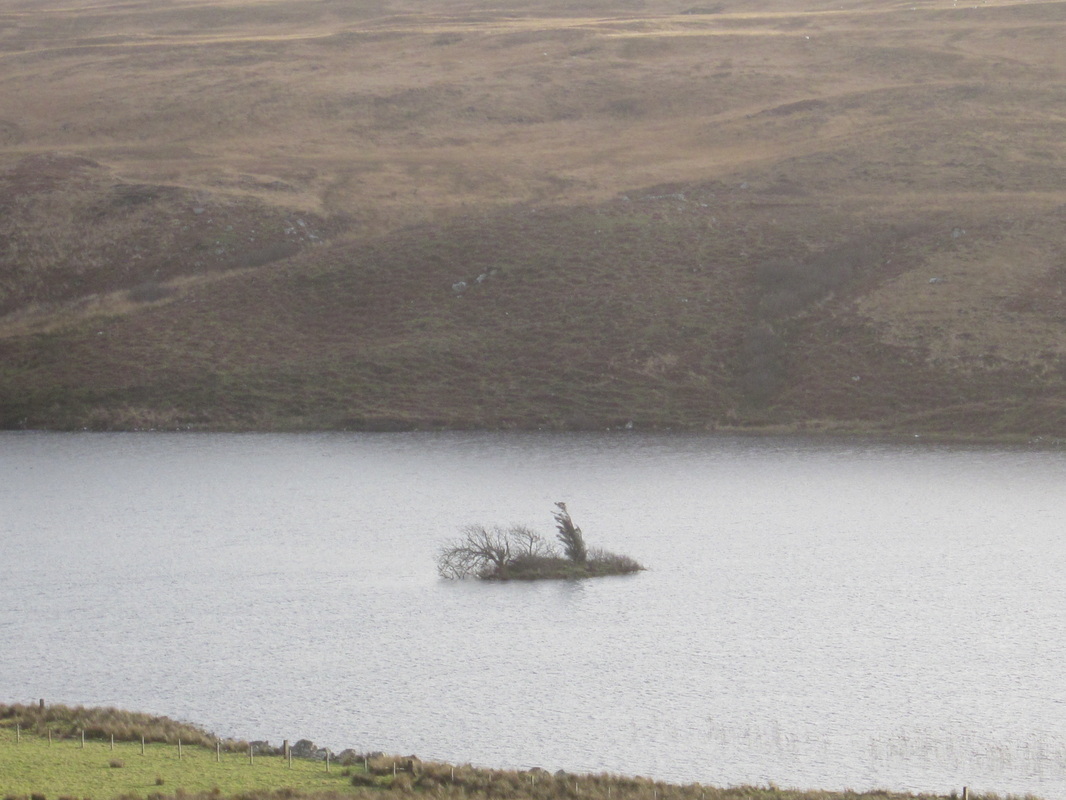
Cartron Island Cashel from N-W
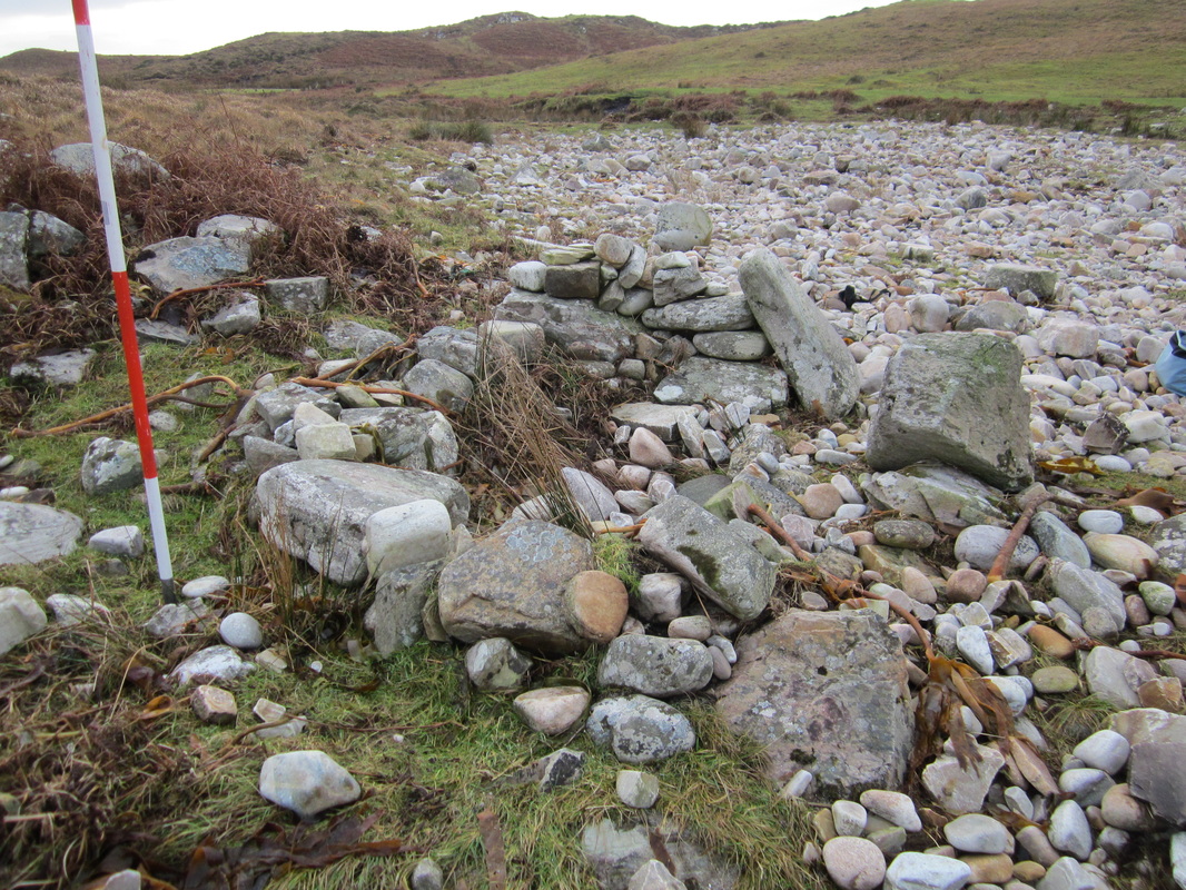
Cleggan Holy Well from North
|
Early Christian Period in Ireland
From the fifth century AD Ireland changed profoundly. Pollen studies for the time attest to a dramatic increase in farming in both types, tillage as well as grazing. The most profound of these shifts was the transition from paganism to Christianity during the beginning of the fifth century AD. This implies communications with the Roman Empire, which led to the transmission and expansion of technological improvements (Stout & Stout, 2011). In addition, the fifth century saw the transformation of the political system in Ireland, with new clans extending and older tribes diminishing. Ireland at this point had a rural society with no currency and was largely illiterate. The economy was composed of animal husbandry as well as tillage. Monasteries, such as Clonmacnoise, Co. Offaly were important centres for trade and learning (Ryan, 2006b).
As far as settlement forms are concerned, ringforts were the most numerous type constructed at the time. Ringforts have been defined as confined single farmsteads, the majority dating from the early medieval period (Stout M. , 2000; O'Sullivan & Downey, 2007; Stout & Stout, 2011). They generally consist of a ring-shaped area, enclosed by one or more earthen banks and ditches. Six different categories are distinguished: univallate (one bank and ditch), bivallate (two banks and ditches), multivallate (more than two banks and ditches), counterscarp, platform raths and cashels (stone-built) (O'Sullivan & Downey, 2007). Univallate forms were defined as medium status sites, sited on arable land and on well-drained gradients (O'Sullivan & Downey, 2007). Crannogs were built in wetlands, estuaries and lakes. They are artificial islands with a circular shape and are mainly constructed of wood, earth and stone (O'Sullivan & Downey, 2005). Souterrains are constructions below ground, including one or more chambers, connected through passages and containing masked entries. Their suggested purposes are for hiding in addition to storing. They often occur within ringforts (Clinton, 2001; O'Sullivan & Downey, 2004b) Promotory forts are defended structures on coastal headlands, protected by stone walls, earthen banks and ditches. One of their characteristics is that they are surrounded by the sea on two or more sides. There is an ongoing debate as to the nature of these, whether they were settlement sites or temporary refuges (O'Sullivan & Downey, 2004a). As ritual sites, holy wells are associated with the era, however they are often of earlier origin (O'Sullivan & Downey, 2006). As a continuation of earlier water-cults, holy wells were worshipped. Logan (1992) defines holy wells as “any collection of water which is for one reason or another considered to be holy”. Pre-Christian objects connected with the wells, such as stones with attributed healing properties, were integrated into the rituals performed at these springs. Some are associated with pagan festivals such as Lúghnasa (O'Sullivan & Downey, 2006). 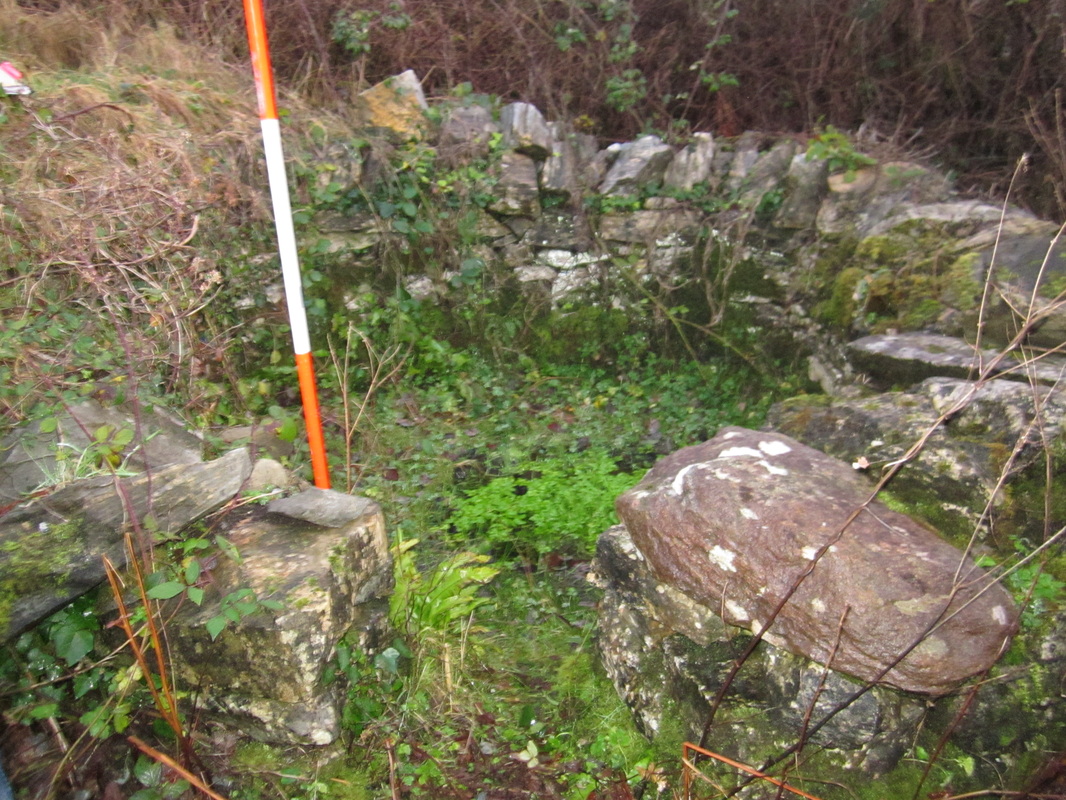
Clooncree Holy Well from South
|
| Welcome to Connemara Archaeology |
|
